Date:2011/07/11
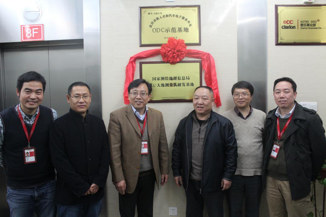
Representatives from the Third Geodetic Survey Squadron of the National Administration of Surveying, Mapping and Geoinformation and Wuhan KOTEI Informatics Co., Ltd. are attending the unveiling ceremony
Mr. Li Senli, the Deputy GM of Wuhan KOTEI Informatics Co., Ltd. gave a speech for the unveiling ceremony, expressing his welcome to the arrival of all the leaders and representatives. He pointed out that, it could develop business in the southwest and Central China by virtue of the advantages of both Parties, thus achieving mutually-beneficial and win-win cooperation. The cooperation would be based a principle of "resource docking and cooperative sharing". KOTEI would provide technical support in navigation, LBS and software R&D. The Third Geodetic Survey Squadron of the National Administration of Surveying would promote LBS and navigation products by virtue of resources in surveying, mapping and geoinformation. Both Parties would make full use of their own advantages to cooperate technologically and commercially. The representatives discusses about the content of cooperation, making an in-depth explaoration on establishing a communication mechanism, providing technical support and making talent cooperation, etc., with a comprehensive consensus achieved.
 KINGDOM OF TECHNOLOGY AND INFORMATION
 COPYRIGHT©2019 武汉光庭信息技术股份有限公司 鄂ICP备12013351号
鄂公网安备42018502004097号


 Contents
 Business Scope